Need a printable version of a map to follow this walk?
13 Miles / 21km 6Hrs
A long, strenuous walk on good, well-signed, but seldom-walked paths through the hills East of Dinas Mawddwy. Starts from the village of Mallwyd. Maximum altitude is around 400m, so this could be a good choice if the mountaintops are in cloud.
There are several small fords on the route that can be up to ankle-deep after rain.
Dog Walkers: Apart from the road sections, sheep graze the entirety of this route. Please keep dogs on a lead, especially during lambing. There are no mandatory stiles, but 2 gates may have to be climbed.
The route takes in many of the sites associated with the c16th Gwylliaid Cochion (The Red Bandits).
The route can be followed using this Ordnance Survey Map.

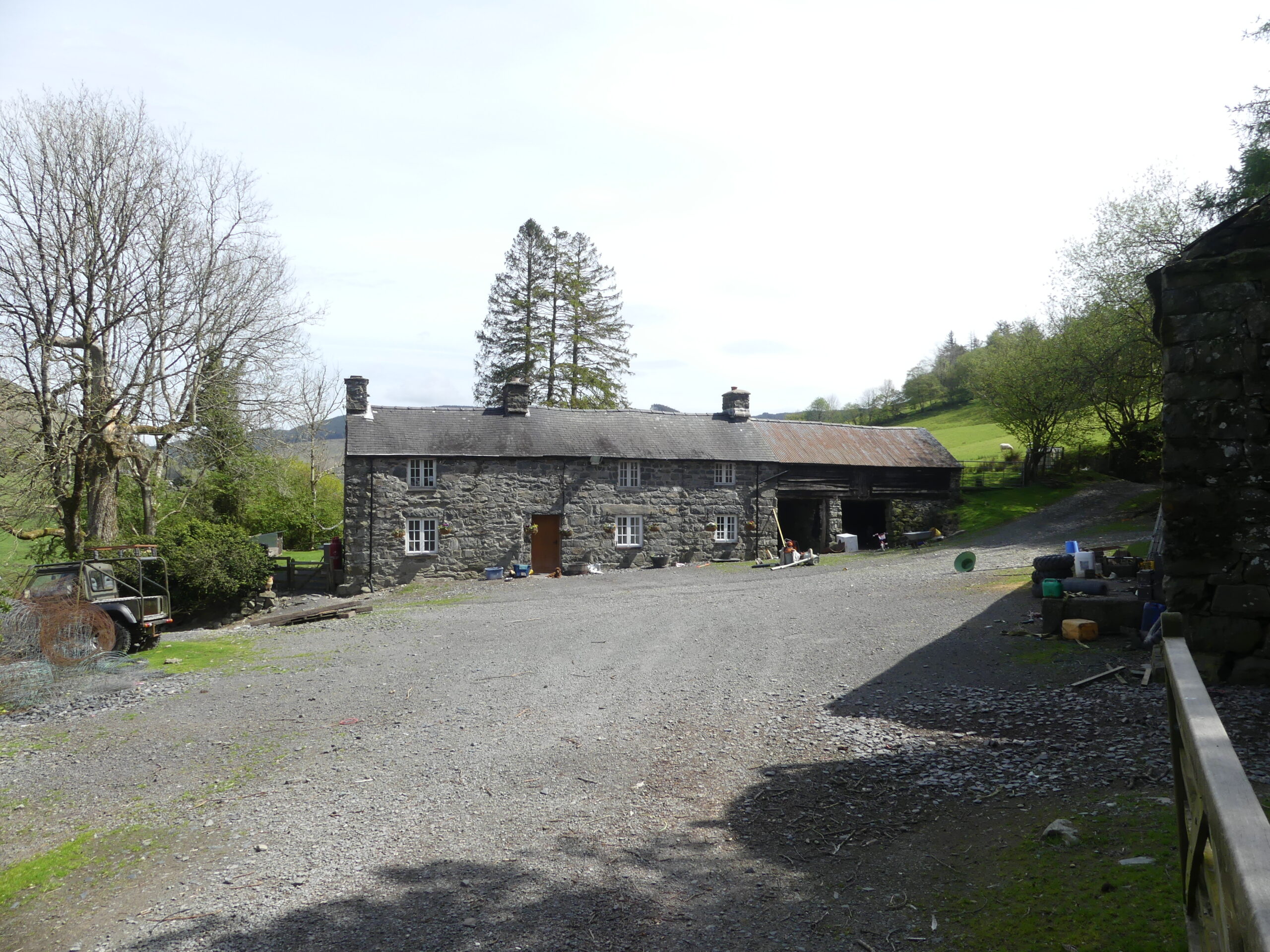
Park in the car park of The Brigands Inn in the hamlet of Mallwyd.
Walk around the front of the Inn and turn right at the roundabout, towards the Petrol Station.
Points of Interest:
1. The village of Mallwyd is strategically located at the junction of two valleys and two rivers. The name Mallwyd is thought to come from the word ma, a field, and an individual named Llwyd or possibly Maen Llwyd (Grey Stone) as Cae Maen Llwyd is near the village, though the site has now been forgotten. The village developed around the church of St Tydecho, and the location is also conveniently on several routes between North and South, East and West. It is a resting place before venturing over Bwlch y Fedwen towards Welshpool, Bwlch yr Oerddrws to Dolgellau, and Bwlch y Groes to Llanuwchllyn & Y Bala.
In 1400, following Owain Glyndwr’s rebellion, Henry the 4th King of England brought his army through North Wales and down through Mallwyd on his way to Shrewsbury to try to capture him. It was also a route for Henry Tudor’s army on its way to Bosworth from Pembroke in about 1485 . The village grew with the advent of the turnpike road. The Cross Foxes farmhouse here later became the Peniarth, Bury and ultimately The Brigands inn.
Mallwyd and Cwm Dugoed are famous for the Red Bandits of Mawddwy, who were known for theft and killing in the middle ages. Tradition has it that 80 of the bandits were caught and hanged by the Baron Lewis Owen of Dolgellau. They were probably refugees from the wars of the period, some living wild, others local noblemen. In 1555 they ambushed and murdered Baron Lewis Owen in revenge, but were subsequently captured and hanged by the authorities.
In 1604 a new rector came to Mallwyd his name was Dr. John Davies.
The most distinguished literary man to serve the people of Mawddwy ecclesiastically. John Davies was a generous man who looked after the welfare of his parishioners, he built the rectory and extended the church and erected a bell tower, as well as a number of other improvements to Mallwyd church. He also started a school in the church. He left a sum of 50 pounds in his will for the relief of the poor, who used it to buy a 6‐acre meadow, and a small field off the Camlan hillside towards Aberangell, which was rented out among those in need, a practice that continues to this day. He is chiefly remembered nationally for his translation work, and in particular for a translation of Bishop William Morgan’s Bible which saw the light of day in 1620 and which was the basis for sustaining the Welsh language to this day.

Turn right onto the lane just before the Petrol Station. The road climbs steeply for 1km then flattens, reaching the yard of Gweinion Farm after 2km.
Points of Interest:
2. Ty Uchaf:
Not far above the garage is Ty Uchaf (Upper House) originally called Craig y Bryniau (Crag Hill). From here you can look up the valley to the ancient village of Dinas Mawddwy, and down the valley to Aberangell. The Dyfi meanders through glacial sediments, and the valley from Mallwyd to Dinas Mawddwy has been designated a Site of Special Scientific Interest (SSSI) for this feature.
3. Gweinion Farm. Gweinion probably means a moorland or wet place. Across the valley is the Nant y Bitfel gorge between Dugoed Isaf (lower black wood) and Dugoed Bach (little black wood) farms. A bitfel was a place where stray animals would be kept – the owners would have to pay to release them. Above the gorge the camp of Henblas was situated, traditionally thought to be the home of the head of the Gwylliaid Cochion (Red bandits).

Go through the gate at the far side of Gweinion yard and continue on a broad track for a further 2km, taking care to follow signs at the track junctions. At this point, the grassy track joins a wide gravel road just above the ruined farmhouse of Bryn Glas. Walk down the road for 200m and then turn left and descend to the lane at the bottom of the Tafolog valley.
Points of Interest:
4. Collfryn hillock:
After 1413, even when Owain Glyndŵr’s uprising was over, some of the inhabitants of Mawddwy refused to bend the knee to the officials of the king of England, and lived as cattle thieves and bandits in the vast woods. These were the Gwylliaid Cochion – The Red Bandits.
The Dugoed Valley in those days was a dense forest with occasional smallholdings sheltering in it. In 1535, as part of the Act of Union between England and Wales, the lordship of Mawddwy and Merionethshire was united. The aim was to sort out the recalcitrant inhabitants of Mawddwy. Baron Owen of Dolgellau was appointed sheriff and, according to tradition, he tried and hung 80 of the Gwylliaid Cochion (red bandits) on the hillock in the woods below. One woman pleaded in vain for the life of her son, Jac Goch (Red Jack); she then exposed her breasts and said that other sons who sucked her breasts would wash their hands in Baron Owen’s blood.
Her sons and the remaining bandits did get their revenge…
5. Cwm Tafolog : This long valley is probably named after the Dock plant, which is Tafol in Welsh.

Turn left on the lane and follow it for just over 1km to the top of a rise and a driveway to the house ‘Yr Allt’ (The Hillside). Continue downhill for 100m, then fork right off the metalled lane towards some metal barns 100m ahead. Bear right, uphill, at the barns onto a broad grassy track and follow this track for 2.5km, traversing the hillside, to Talglanau Farm. Continue through the farm buildings and descend to cross the River Cleifion. Just past the bridge over the Cleifion bear right on a path alongside the riverbank, and then up a steep slope, to reach the A458.
Points of Interest:
6. Penrhiwcul & Dugoed Mawr:
As you leave the lane near Yr Allt, you can see the house Penrhiwcul on the opposite side of the valley, where the lane you just left joins the A458. It was once a public house. The small field just below the road is Cae Meddw (drunkard’s field), where the drinkers would go to sleep, and sober off! Penrhiwcul means ‘corn-drying mill at the top of the hill’, referring to the steep hill which climbs from Byllfa bridge.
At the ancient farmhouse of Dugoed Mawr, just right of Penrhiwcul, scythes were found in the large chimney to keep bandits or thieves from climbing down into the home of the gentleman owner, the bard Ifan Tudur Owen. He would have been living there barely fifty years after the Collfryn massacre of the red bandits.
7. Ty Coch, and Llidiart y Barwn opposite:
1 km after leaving the lane is Tŷ Coch farmhouse, now a barn. About a century and a half ago the Talyglannau family (from the next farm up the valley) was so numerous that Tŷ Coch was built to house some of them.
Across the valley was the shop of Nant yr Ehedydd, and the old building by the river was a woollen factory. At that time the valley was much more populated with numerous families in each smallholding.
Between the trees and Nant Yr Ehedydd is the Llidiart y Barwn (Baron’s gate) where, in 1555, 4 armed members of the Gwylliaid Cochion ambushed Baron Owen on his return from Y Trallwng (Welshpool). The Baron had not long hung 80 of their compatriots and relatives, and they wanted revenge. According to one account, the Baron’s body, when it was found, had up to 30 arrows lodged in it.
The bandits were not the scum of society, but minor gentlemen; John Goch ap Gruffudd ap Huw, Robert ap Rhys ap Hywel, Siencyn ab Einion, Dafydd Gwyn ap Gruffudd ap Huw ‐ of Mawddwy. Ultimately though, the perpetrators, and those who sheltered them, were caught; including one pregnant woman.
On the mountain opposite is Ffridd y Groes (field of the cross) which was named to commemorate the Baron’s murder.
One of the fields in Braichllwyd across the valley to your right is named Cae Ann (Ann’s field), where traditionally, Ann, the maid at Gelliddolen farm was killed while walking home from the main road near the Nant yr Ehedydd Bridge (in the gorge) with a bow and arrow.

You should join the A458 directly opposite the road to Braichllwyd farm. Cross the A458 and follow the Braichllwyd road. Go through the farm, passing just right of the farmhouse to stay on a broad, stony track that swings right to head up the quiet Clywedog valley. 1km past Braichllwyd the track passes the newly renovated farmhouse of Gelli Ddolen. Not far past Gelli Ddolen the track narrows and, as you continue up this isolated valley, becomes a footpath. 3km beyond Gelli Ddolen, at the head of the valley, you will reach footbridge.
Cross the bridge and bear right, ignoring the stile there, keeping just right of a wall. After about 50m turn left through a gate and then bear slightly left through this field aiming for a point just left of a small stone and corrugated iron barn ahead. This building is Hafoty’r Fuches Las (summer residence of the blue herd) ‐ a lovely name.
As you reach the footbridge, spare a thought for a young Hans Kauter who, in 1940, had hobbled and crawled to this spot on his way down to Gelli Ddolen for help. His plane had been shot down in the hills to your right, nearly 3km away and he had a shattered knee, broken ribs and head wounds. Three of his crew had been left, even more badly injured, near the crashed plane. Once at Gelli Ddolen he refused to sleep or even rest until he was told that his crew had been found. All 4 were rescued by the local farmers and the Home Guard and made a full recovery. Hans later came back to visit the area more than once.
Points of Interest:
8. Braichllwyd
It is said that the Gwylliaid were basking in front of Braichllwyd one day while the Talyglannau family, across the valley, were harvesting their hay. At lunchtime the maid brought a whole cheese to the Talyglannau hay field. One of the Gwylliaid boasted that he could shoot the cheese with an arrow across the valley which, to the horror of the Talyglannau family, he did. A range of 200-300m wouldn’t have been out of the question for a strong archer, so the story isn’t impossible.
9. Foty Fach
The lonely Clywedog valley was once full of life, with families living at Cae Crythor (fiddler’s field) and Hafoty Fach (little summer residence); over the summer the farmers from Cwm Cewydd (the valley to the west) would come here to their hafodydd (summer residences) to graze & milk their cattle and goats. There is a goat pen a hundred yards upstream of Hafoty Fach. The pine trees are a sign that drovers, on their way to Shrewsbury, would be welcome to stay overnight here.
10.Man or boy’s grave and Peat cutting:
Before turning down the bridge you will see two small stones, marking a grave. There are two stories: a century and a half ago this was said to be Gwilym’s grave, who was killed by the Gwylliaid Cochion Mawddwy. Alternatively it is the grave of local a boy who fell on Tarren Cwm Bachgen (the rock you see on the right in the valley leading to Mawddwy).
On the hillside on the right there are traces of peat drag sledges ripping the ground; they would carry the peat to Mawddwy and Cwm Cewydd. The name of the pass to Mawddwy is called the Bwlch Safn yr Ast (The Pass of the Bitch’s Mouth), where one of Wales’ three giants were buried.


Continue past the Hafoty, and then follow the wide grassy track that heads leftwards towards the hill of Ceseiliau 1 km ahead. The track traverses just below the actual summit, providing amazing views of the valley below.
Just after the track starts to descend a gate is reached. It is easy to go wrong here: Don’t go through the gate but keep just right, descending alongside the fenceline towards a pair of new gates 150m ahead. Go through these gates and descend through the fields below, following signs, to reach a farm track.
Turning left onto the track to pass Bwlch-Coediog Uchaf Farm just below, at the head of Cwm Cewydd. Continue down Cwm Cewydd on the metalled lane for 2km to the T-Junction at the bottom.
Points of Interest:
11. View from Ceseiliau
From near the summit of Ceseiliau there is a great view of the Mawddwy area. Due North of Dinas Mawddwy is Foel Benddin, formerly a castle, and to it’s right you can see into the long valley of Cwm Cywarch with the Aran mountains beyond. Further right the Mawddwy valley becomes extremely steep and narrow, with some of the farmhouses like Llanerch built before 1600.
12. Castell
1km after leaving Bwlch-Coediog Uchaf Farm is the house Castell. The full name was Castell y Blaidd (Wolf’s Castle), but there was never a castle here.
The local story is that an old man died here, leaving his property to a relative; but before burial another relative changed the will using the old man’s dead hand to sign the will. The ghost of the old man then disturbed the family for generations.
At the T-Junction turn right, passing through the hamlet of Cwm Cewydd. After 1km turn left at the T-junction with the A470 and walk alongside it for 500m to return to the Brigand’s Inn.
Points of Interest:
13. Cwm Cewydd is a small hamlet with mills and previously, a small chapel/schoolhouse. The corn mill (now a house) can be seen on the right at the bridge over the river – a millstone rests against the front wall.
14. Bridge over the Cleifion:
200m after turning left onto the A470 look over the current Afon Cleifion bridge and you will see the old bridge built by the rector Dr. John Davies of Mallwyd in 1637. Before then, the river was forded, as the river was fairly shallow downstream. During the English Civil War there was a skirmish near the bridge when the inhabitants of Mawddwy convened on the north bank of the Cleifion to resist the crossing of Roundhead troops. Blood was shed and hostages were taken. A saying about the event came in the form of a verse ‘a sickle round Cromwell’s neck’
It was at this ford the Shrewsbury coach on its way to Dolgellau would cross. It was said that the John Davies’ bridge was intimidating for travellers, as it was high and narrow. The bridge continued in use until the 1840s when a new bridge was built. That 1840s bridge was then demolished to make way for the modern one which stands today.